
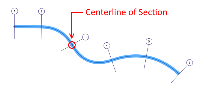
Depending on the station and elevation points entered, there may be times you’ll want to reset the centerline of your channel section. This centerline station is used by the Plan view and 3D view tabs to position the cross-section relative to the centerline of the river reach. In other words, the centerline station is the intersection of the cross-section line and the river reach.
IMPORTANT: This feature has no affect on water surface profile calculations and is not available when using TIN Surfaces.
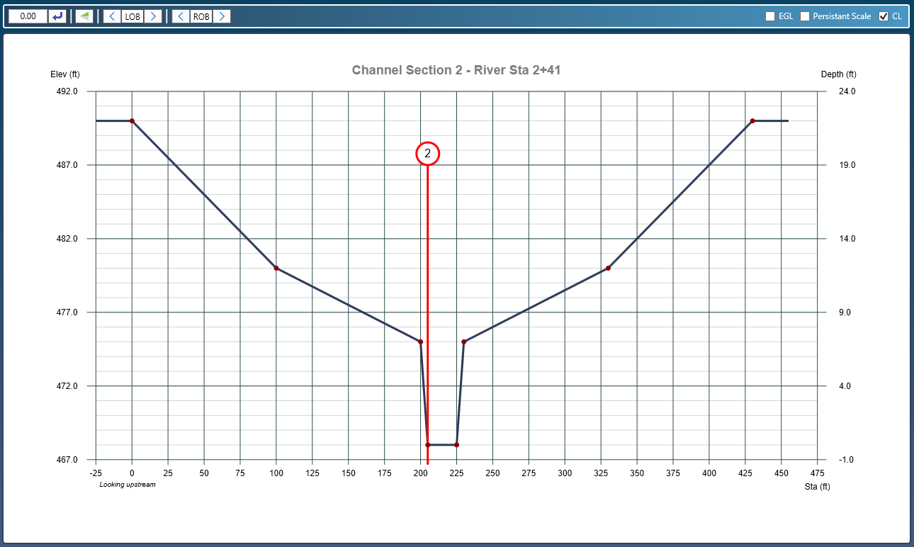
When entering your section for the first time, or after editing your section’s station / elevation data, the program attempts to set the centerline station to the location of the channel section invert. However, if more than one elevation share this invert, it will be set to the first one as shown below.
To reset, be sure the CL check box in the upper right is checked. Then drag the highlighted vertical section line to the new position. No need to click [Apply].
Example Moving the Section Location on the Reach
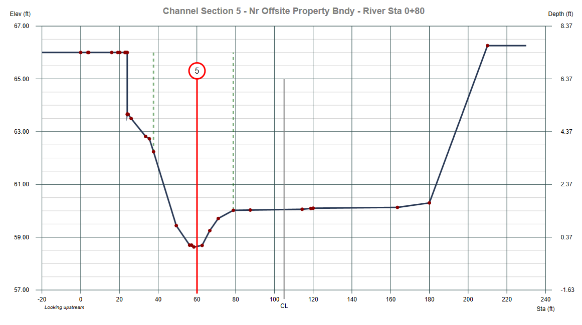
In the section above, the CL was set originally to the section’s midpoint, Station 105 ft (210/2). The CL line was then dragged to the left to a new position at 60. In Plan view the entire cross-section will be shifted 45 feet to the right as looking upstream.
Note that the CL option will be disabled when connected to a TIN surface. Disengage the TIN surface to use this feature.